Sunday, July 24
All week my wife and I were talking about the Hudson trip as she had never done it on a PWC. As we cruised around all week I was prepping her that it might not be as calm as she liked, but she was excited and enthusiastic to do it and I was excited to have her coming along. We had made it past our 25th anniversary during the week and this would definitely be the icing on the cake if it went well, or the beginning of the end if it didn’t! As for the others who were planning on going, I was getting texts and emails about a raw sewage spill into the river. I thought they were kidding but after looking into it I saw that they were not full of shi.. and our route would contain lots of shi…I figured we’d wait it out and see what happens but my wife kept suggesting we change the trip (not happening.)
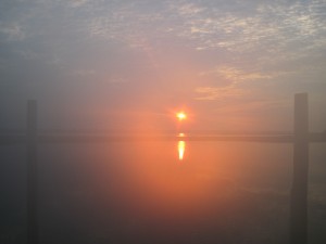
So the plan was to meet at the ramp at the end of Garvies Point Road in Glen Cove at 7:30am. I wanted to get the lower part of the river done early before the boat and ferry traffic picked up, making it too rough for pictures. Still not completely knowing what to expect of the water from the sewage (at this point the spill was stopped) I figured people to bail out, but I was pleasantly surprised when Yamadude Joe, his daughter Sarah, Geoff, Sid and Carin (and my wife) all showed up. Two guys were no shows (they let Joe know the night before) and 1 Doo was broken down on Saturday (stuck in reverse) so we lost some riders there as well. Including my trusty passenger and me we had 6 skis and 7 people. The ages ran from 16-61 with varying degrees of experience, from first trip to seasoned. Quite a diverse group. I wasn’t exactly sure how it was going to work out and mesh but I figured I would just go with it and see how it went and improvise as we cruised along. Well, I have to say, what a trip. And what a perfect mix of people in the in the end.
In the water by 8:15 and the water is as flat as I think I’ve ever seen the sound. Even though I have done this trip numerous times there was a lot of excitement from the others who never did it, which made me excited to be doing it again. We left Hempstead Harbor and headed west after Sands Point. We cruised past Manhasset Bay, The Merchant Marine Academy on the Eastern tip of Kings Point near Little Neck Bay and under the Throgs Neck Bridge with the SUNY Maritime College on the Northern side. Smiles all around as the water was so flat. Under the Whitestone Bridge and a quick stop to see if the airplanes were landing on the runway near Rikers Island (they were not) and on we went.
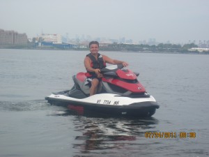
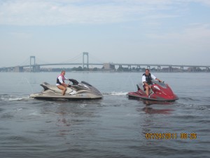
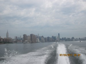
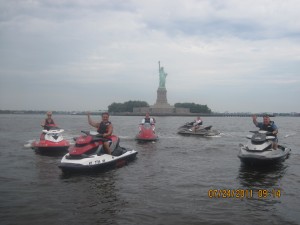
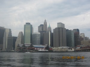
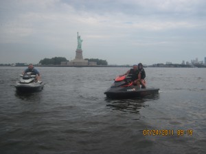
We took off for Hells Gate, passed Randall’s Island, and a left turn southeast down the East River with Roosevelt Island on our east side and the East Side Highway on our west side we cruised toward South Street Seaport and The Statue of Liberty. Passing the UN and other buildings is always a rush. So much to see. I have to say I was trying real hard not to get any water on me, fearing the sewage. Yamadude and his daughter were spraying water (and who knows what else) in the air from their Yamaha visibility spouts and my wife was sure to advise me not to ride near them until we were way up river! I think everyone else had the same thoughts. After some photo ops at The Statue of Liberty we stopped at Liberty Landing Marina to top off fuel.
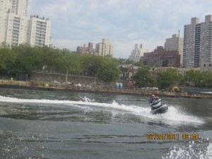
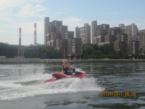
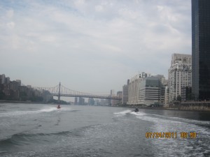
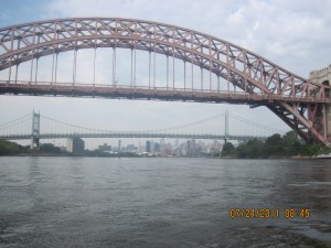
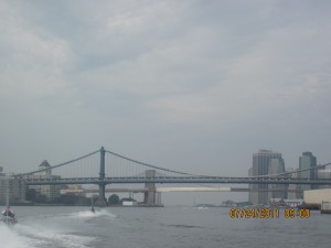
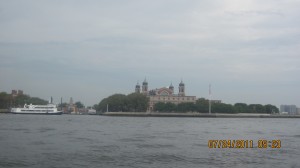
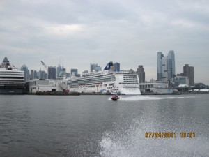
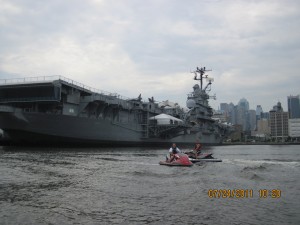
As we cruised north we were able to see a few cruise ships in port and The Intrepid at the Air and Space Museum. On the west bank of Jersey it was interesting to see how the apartments/houses were almost built in steps or layers. Under the GWB with the water still amazingly flat, we were cruising the west shore line passing the Palisades Park and Tallman Mountain. Once we passed under the Tappan Zee Bridge I think there was a general sigh of relief that we made it passed the sewage water without getting too wet.
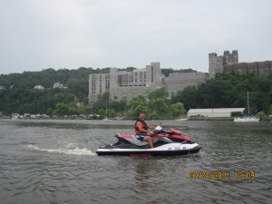
We cruised along at approx. 30mph through Haverstraw Bay, Stony Point, and onto Bear Mountain, always a cool sight as you come around the bend. More photo ops and it was smooth water past Highland Falls to West Point, which never gets old.
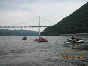
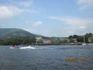
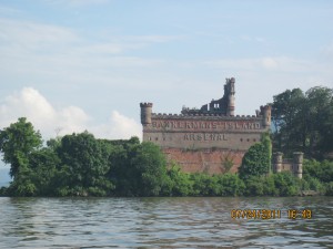
The troops were getting hungry so, at Sid’s suggestion, we decided to go to Cold Spring for lunch instead of Newburgh. Cold Spring is on the east shore just past Constitution Island and Foundry Cove. It is an awesome stop and a nice change from Newburgh. This was really the first time most of us were able to fully introduce ourselves and it was amazing how quickly everybody was comfortable with each other and we had a lot of laughs at each others expense. We did a sit down lunch in town and here is how perfect the day was going for us – we sat and ate and it started to rain. By the time we finished it was sunny and beautiful again. And the water was flat. My wife kept reminding me that it was because she was with me. I guess this was her way of telling me that she should be with me all the time if I wanted perfect weather….back in the water we went to Bannermans Island. You can go behind the Island along the east shore but you have to be careful of rocks and not get too close. From Bannerman’s we went to refuel in Newburgh just before the Newburgh-Beacon Bridge on the west shore.
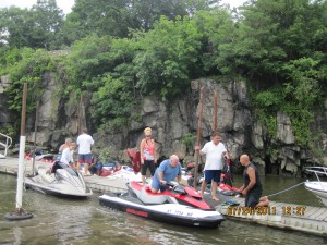
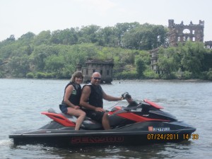
We cooled off after getting fuel and figured we had a bit more time to go a little further, so we went a bit further north to almost the Mid-Hudson Bridge. We saw a lot of skis on the water today, actually more skis than boats. We didn’t have time to stop, but at one point we saw a whole load of skis near what looked like a rope from a bridge where people were jumping in. This was on the west shore. Unfortunately the only thing that was not on our side today was time as we had to turn around here if we were to make it back by dark.
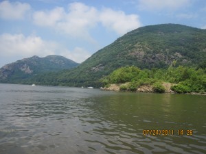
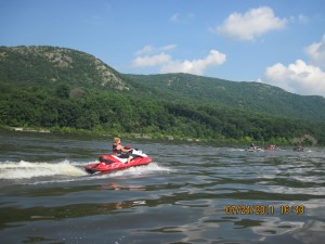
The water was flat so we cruised easily south along the eastern shore at a good pace. With a quick stop for a swim we stayed along the east shore with a refuel stop at Tarrytown Marina planned. Keeping along the shore you pass through Peekskill Bay, Croton-on-Hudson in Haverstraw Bay, and Sing-Sing Prision in Croton Bay. The sun was getting low but rather than just stop for fuel at Tarrytown Marina we decided to eat dinner as well. They have a restaurant and an outside clam bar at the marina. We chose the clam bar due to time constraints but I’m told the restaurant is very good. We had a lot of laughs again as I was pleased to see how easily everybody was getting along. Nice place.
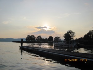
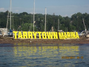
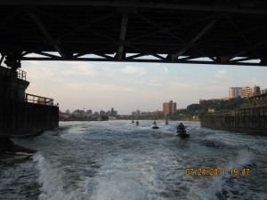
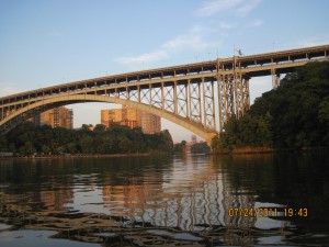
The sun was getting lower faster than we wanted so we had to start making some time. We continued along the eastern shore about 50 mph past Hastings on Hudson, Yonkers and a left under the Spuyten Duyval Bridge. Now we thought about sewage again as we flew down the Harlem River (Flat water) toward Hell’s Gate.
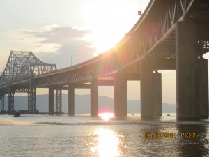
With darkness approaching it didn’t help when a Doo sucked up something into the impeller and wouldn’t go. When whatever it was dislodged itself, it seemed like someone decided to turn the lights out on us and it was an uncomfortable ride from The Throgs Neck Bridge back to Glen Cove.
The water was still amazingly flat, but its tough to see what’s in the water. I know everybody was glad to be back but I think if there was more daylight everybody would have loved to have been riding longer still. It was just a phenomenal day – 200 miles, stopped to eat full meals twice, and stop to swim. Unheard of unless you have the perfect conditions, which we really had all day…but most of all we had great people and the perfect mix to make it one of those most memorable days.
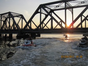
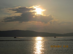
Just an aside. Some people have suggested that I should rate the difficulty of the trips so they have a feel for whether or not it is a suitable trip for them. I think this would be hard to do as, in my opinion, the most important difficulty factor when talking about a trip is water conditions. If it is rough you can do a lot less miles, or, for some, none at all. For example, if the water was rough for this trip, with our mix of people, we might not have made it to the Tappan Zee Bridge (and I would not have wanted a passenger all day – hell for me and them). Aside from water conditions the riders experience and stamina would be the next factor, and how can you rate the difficulty of a trip if you don’t know the experience of the riders. There are many other factors as well, but just those two are enough to keep me from rating the trips fairly. When reading the blog you can get a feel for the trip in general, which is really the purpose; to show that there are many cool trips to make on these skis if you think of them as a motorcycle on the water.
